 SoaringCast
Everything to prepare your flight
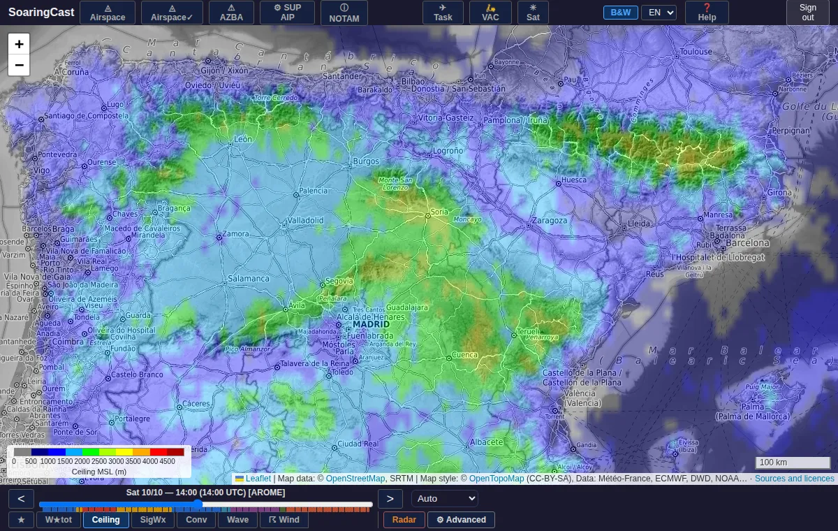
Convection maps
Cloud base, thermal strength, day rating, cloud cover, wind by level, wave and convergence, hour by hour.
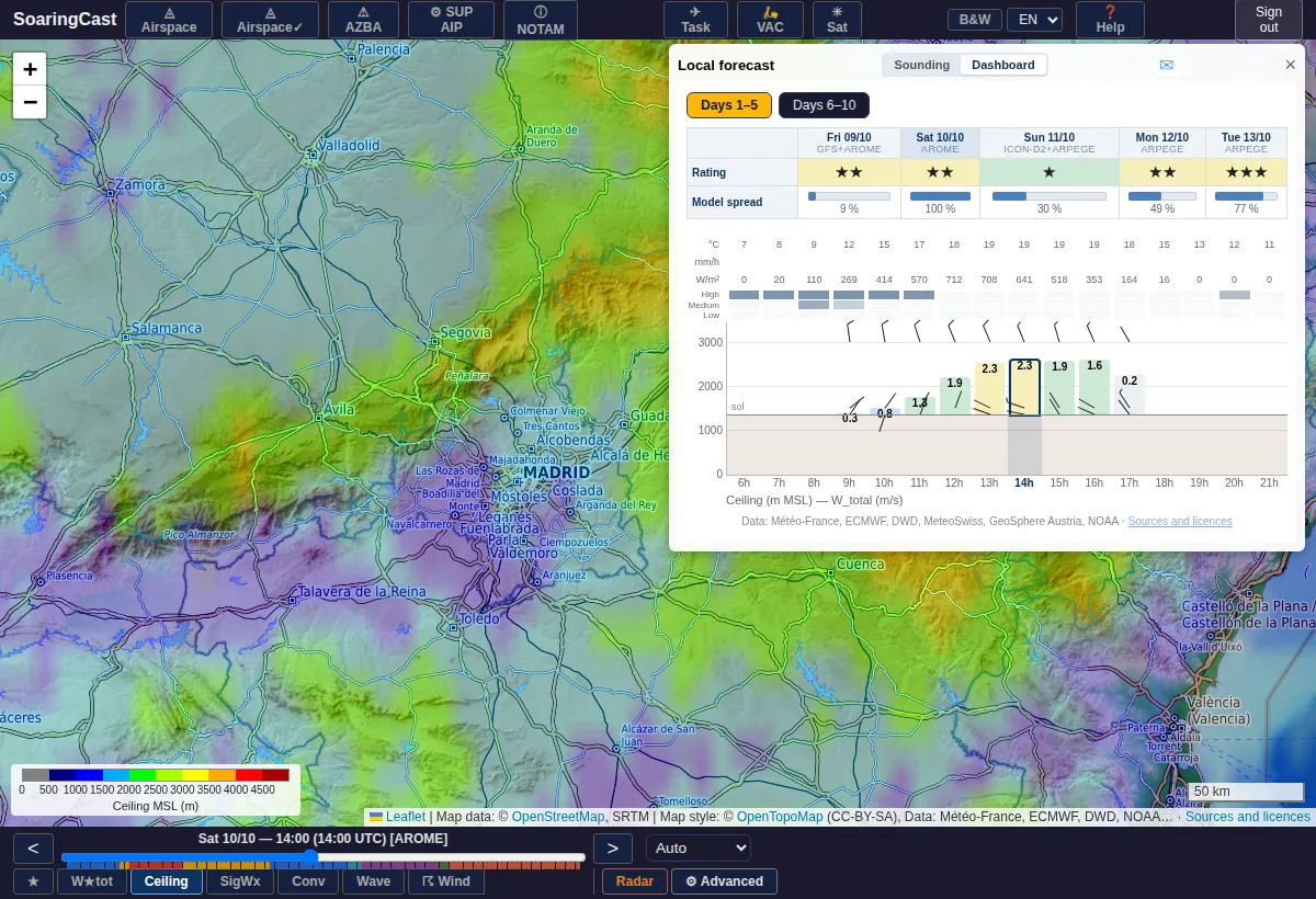
Dashboard for any place
The whole day at a glance: cloud base, cumulus, rain and wind, with the spread between models. Optionally by email every morning.
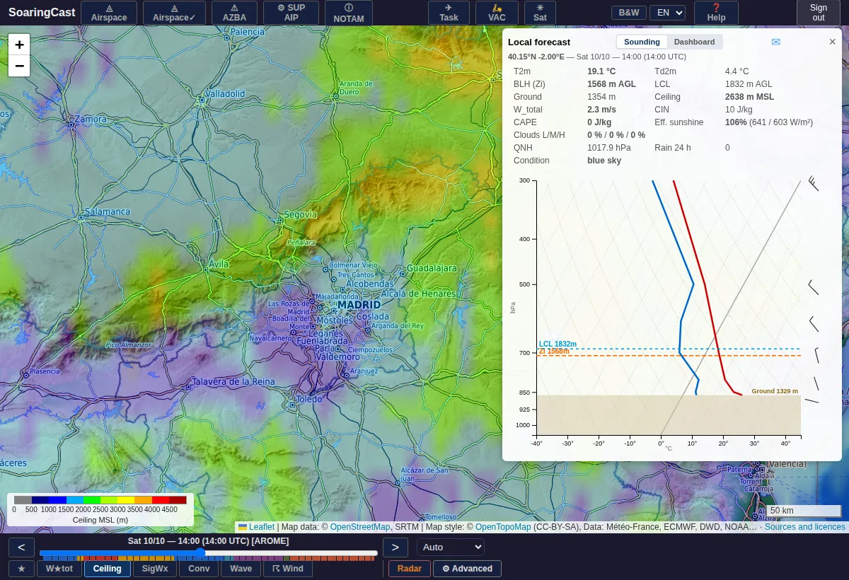
Soundings
The forecast sounding anywhere on the map, in one click.
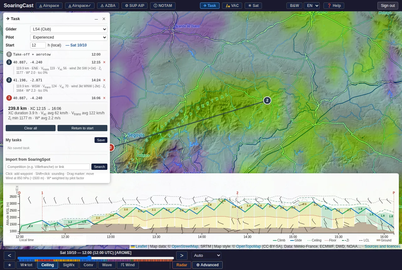
Tasks
Draw a task: speed and timing are simulated with the forecast weather along the route. Import SoaringSpot competition tasks.
Airspace and NOTAMs
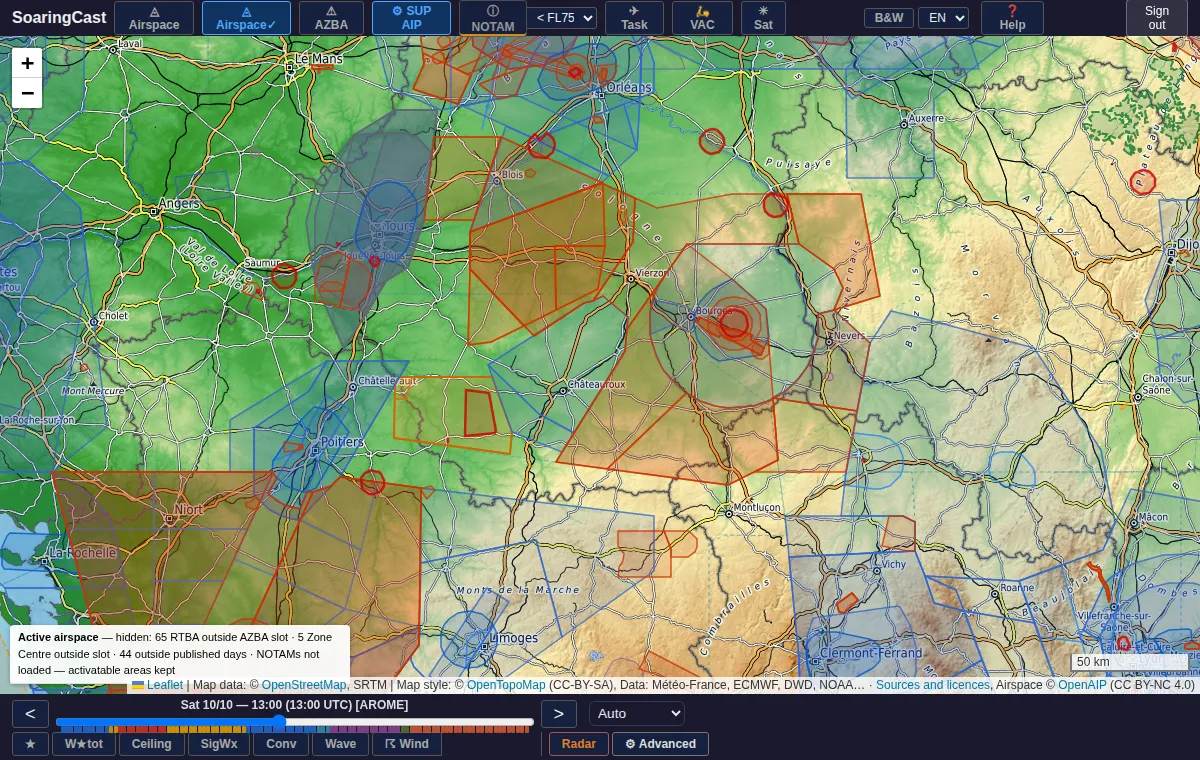
Today's active areas, NOTAMs, AIP supplements and VAC charts, in France and several neighbouring countries.
Observations
Rain radar every 5 minutes with nowcasting, satellite images and weather station observations.
Screenshots
A preparation aid
Forecasts are estimates computed automatically: they do not replace official sources, and the pilot in command remains solely responsible for the flight. Terms of use
Your account
Sign up by email or with Google: only your email address and name are used, to identify you. No advertising, no data resale. Privacy policy